
Parcel 28-1N-24-0000-0003-0000
Owners
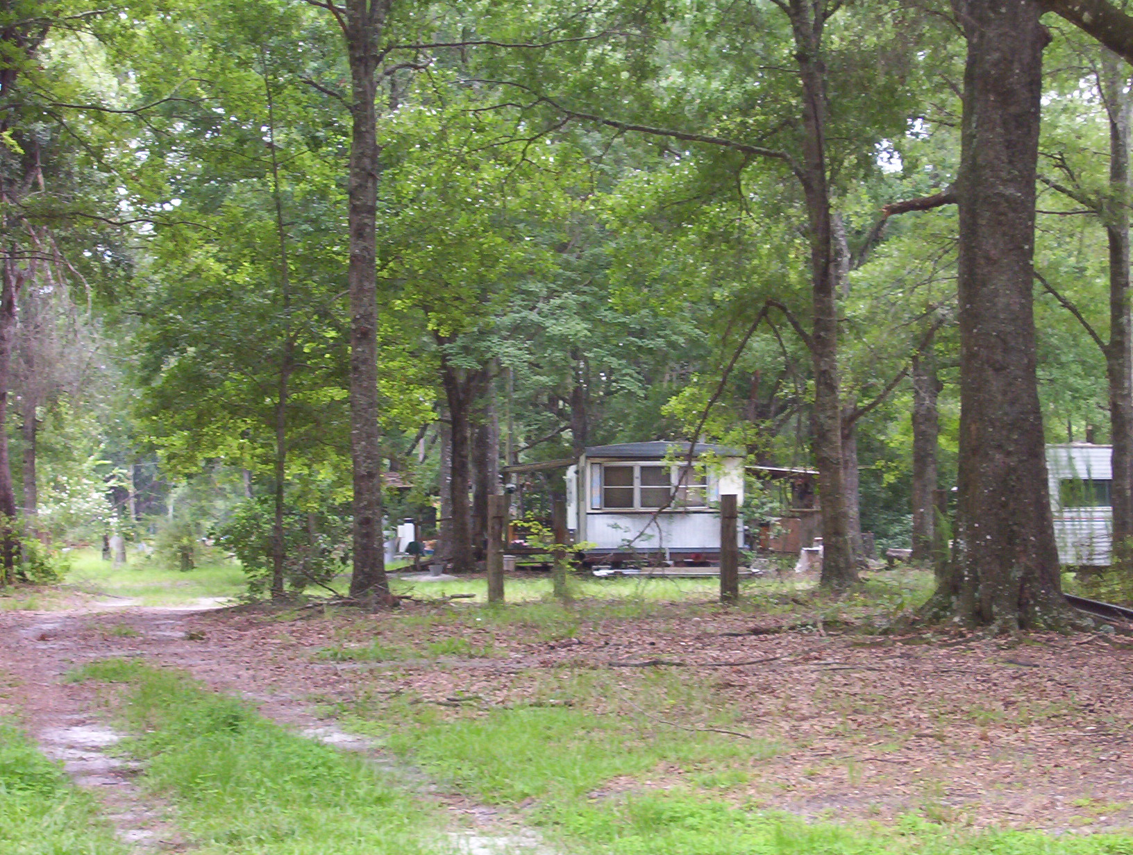
13559 RAULERSON ROAD
BRYCEVILLE, FL 32009
Parcel Summary
| Situs Address | 13559 RAULERSON RD |
|---|---|
| Use Code | 0100: SINGLE FAMILY |
| Tax District | 6: Drainage Dist |
| Acreage | 3.000 |
| Section | 28 |
| Township | 1N |
| Range | 24 |
| Subdivision | |
| Exemptions | None |
| Lineage | Split from: 28-1N-24-0000-0003-0000 |
Short Legal
PT NE1/4 OF SW1/4SEC 28-1N-24E IN OR 2711/1283
Values
| 2024 Certified Values | 2025 Certified Values | |
|---|---|---|
| Land Value * | $75,000 | $90,000 |
| (+) Improved Value | $64,109 | $67,274 |
| (=) Market Value | $139,109 | $157,274 |
| (-) Agricultural Classification | $0 | $0 |
| (-) SOH or Non-Hx* Capped Savings ** | $0 | $0 |
| (=) School Assessed Value | $139,109 | $157,274 |
| County Assessed Value | $139,109 | $157,274 |
| (-) School Exemptions | $0 | $0 |
| (-) Non-school Exemptions | $0 | $0 |
| (=) School Taxable Value *** | $139,109 | $157,274 |
| (=) County Taxable Value | $139,109 | $157,274 |
Document/Transfer/Sales History
| Instrument / Official Record | Date | Q/U | V/I | Sale Price | Grantor | Grantee |
|---|---|---|---|---|---|---|
| QC 2713/1393 | 2024-05-23 | U | Improved | $100 | MCKINNON WANDA | SIKES JONNIE SUE |
| WD 2711/1283 | 2024-05-03 | U | Improved | $74,000 | MCKINNON WANDA | COATES VIRGINIA FAYE |
| WD 2711/1281 | 2024-05-03 | U | Improved | $74,000 | SIKE JONNIE SUE | COATES VIRGINIA FAYE |
| FJ 2697/1941 | 2024-03-01 | U | Improved | $0 | MATHEWS PEGGY EST | SIKE JONNIE SUE |
| QC 1495/0743 | 2007-04-27 | Q | Improved | $100 | VARNES JONNIE S & ZACHARIAH ROBERTS | SIKES JONNIE S & PEGGY MATHEWS |
| QC 1331/1730 | 2005-07-08 | U | Improved | $34,000 | MATHEWS PEGGY L/E | VARNES JONNIE S & ZACHARIAH ROBERTS |
| QC 0882/1531 | 1999-05-12 | Q | Improved | $100 | SIKES J E | MATHEWS PEGGY |
| TA 0100/0174 | 1970-01-01 | Q | Vacant | $3,000 |
Buildings
Building # 1, Section # 1, 117560, RESIDENTIAL
| Heated Sq Ft | Year Built | Value |
|---|---|---|
| 1380 | 1973 | $31,082 |
Structural Elements
| Type | Description | Code | Details |
|---|---|---|---|
| EW | Exterior Wall | 15 | CONC BLOCK |
| RS | Roof Structure | 03 | GABLE/HIP |
| RC | Roof Cover | 01 | MINIMUM |
| IW | Interior Wall | 05 | DRYWALL |
| IW | Interior Wall | 04 | PLYWOOD |
| IF | Interior Flooring | 12 | HARDWOOD |
| IF | Interior Flooring | 13 | LVT/LAMNT |
| AC | Air Conditioning | 03 | CENTRAL |
| HT | Heating Type | 04 | AIR DUCTED |
| BDR | Bedrooms | 3.00 | |
| BTH | Bathrooms | 2.00 | |
| FR | Frame | 02 | WOOD FRAME |
| STR | Stories | 1. | 1. |
| BUD8 | BUD8 Adjustment | 06 | DIST 1D |
Land Lines
Personal Property
None
TRIM Notices
Property Record Cards
Disclaimer
The Nassau County Property Appraiser's Office makes every effort to produce the most accurate information possible. No warranties, expressed or implied, are provided for the data herein, its use or interpretation. The information contained herein is for ad valorem tax assessment purposes only. The Property Appraiser exercises strict auditing procedures to ensure validity of any transaction received and posted by this office but cannot be responsible for errors or omissions in the information received from external sources. Due to the elapsed time between transactions in the marketplace, and the time that those transactions are received from the public and/or other jurisdictions, some transactions will not be reflected.